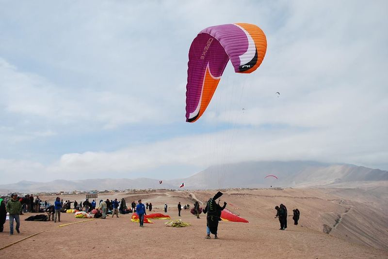
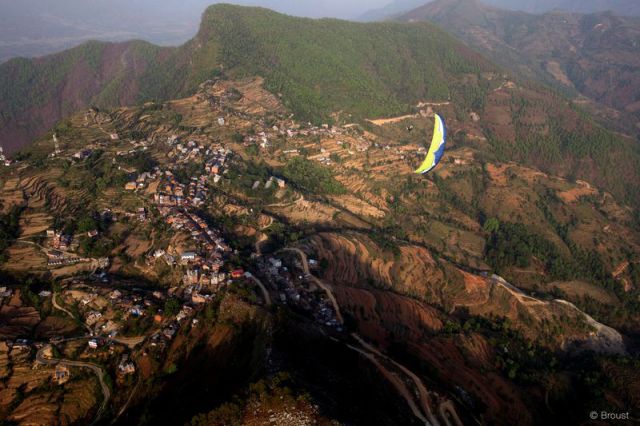
Alto Hospicio Paragliding Open 2014, will take place between 23th at 27th of October, being the first event of the Chilean paragliding competitions series. This year it will be also the 25th anniversary of this Open comp, and like all previous, the event takes place at Iquique flying site, one of the best sites in the world with an average of only seven non-flyable days per year.
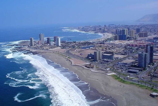
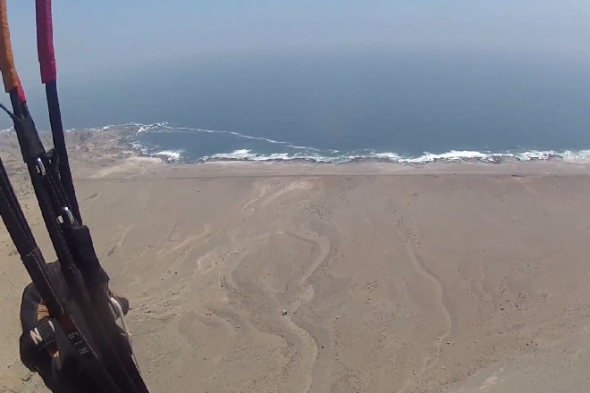
Iquique, considered as one of the most important flying sites in Chile, is located in Atacama region in the north of the country and is 1852 km away from the capital, Santiago. Thanks to its exceptional conditions, the pilots could fly 360 days per year, in a perfect landscape. In October, November and December; flying conditions allow flights between 7 to 10 hours per day. That gives a base for such spectacular achievements like the 304 km flight of Pál Takás. The take off is a big slope of the costal ridge facing the sea breeze. From the altitudes you can see the complete extension of the city, the harbor and the beaches.
Iquique - a home of one of the best flying sites in the world
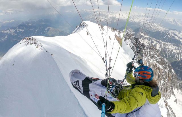
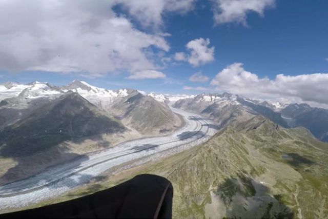
In summer of last year, an interesting thermal situation occurred around the tallest peaks in the Alps, Mont Blanc (4,809 metres above sea level), making it possible to use rising thermal currents to turn above the 'Roof of Europe'. It was certainly unsurprising, then, that many paraglider pilots…
The landing areas are located in the two main beaches of Iquique (Brave´s beach and Cavancha`s beach), and both places offer wide areas, good amplitude and excellent orientation. Due to the goodwill of The Diego Aracena Airport's authorities, this usually a restricted flight area located only 35 km to the south of Iquique, one corridor is going to be open to enable participants create tasks across this zone, and take advantage of the costal ridge to fly in the most technical place of the area just near the airfield.
The flight conditions vary in the day between 2 m/s to 6 m/s with winds in range of 8 to 25 k/h, and the Atacama desert give the chance to land almost in every place without obstacles; even over the city, in the big dune of the Dragon hill, for almost 4 km within the same city.
Take Offs
Alto Hospicio - 490m ASL 20º16'54.6"S 070º06'28.0"W
This take off has West orientation, with a surface of 2500 square meters and a lot of the open areas around enough to support 150 pilots, with an average launch of 6 pilots per minute. From the main square of the city, it takes 15 minutes to reach the take off ground. You can get there by public transportation (It will bring you to a few meters from the launch graund).
Patillos - 170 m. ASL 20º44'20.2"S 070º09'23.5"W
This take off has West orientation, with a surface of 300 square meters and open area to support 100 pilots, with an average of 3 pilots per minute. From the main square of the city, it takes 45 minutes to reach the take off spot.
Alto San Marcos - 602 m ASL 21º04'25.8"S070º06'37.0"
This take off has West orientation, with a surface of 10.000 square meters and wide open areas to support a lot of pilots, here 10 pilots per minute can take off easily. From the main square of the city, it takes an hour and 30 minutes to reach the ground.
During competition days there will be shuttle available for all participants.
It was last year when Canadian competition pilot Brett Hazlett had an accident in Turkey, finding himself lying on the side of a ten-thousand-foot desert mountain, unable to move, struggling to breath. He's a tough cookie though and although he couldn't walk for five months, Brett is flying again…
Traveling for an extended period of time, especially with a wing, harness, and a reserve parachute, clearly deviates from the ordinary. There is always the question of weight, bulk... But for all that, traveling with your paraglider in some remote areas opens up a range of amazing discoveries and…